sanitation@lemmy.today to Technology@lemmy.worldEnglish · 4 days agoChina Crosses Energy Milestone as Coal Falls Below 50% of Powerwww.energyconnects.comexternal-linkmessage-square16linkfedilinkarrow-up1224arrow-down15
arrow-up1219arrow-down1external-linkChina Crosses Energy Milestone as Coal Falls Below 50% of Powerwww.energyconnects.comsanitation@lemmy.today to Technology@lemmy.worldEnglish · 4 days agomessage-square16linkfedilink
minus-squareGoatSynagogue@lemmy.worldlinkfedilinkEnglisharrow-up3·3 days agoHow would satellite images show how much coal is being used or how much power is generated by anything?
minus-squareSourGumGum@lemmy.worldlinkfedilinkEnglisharrow-up4arrow-down1·3 days agoBecause satellites can track gasses and what not.
minus-squareEarthwormjim91@lemmy.worldlinkfedilinkEnglisharrow-up3·3 days agoYup. And here’s some more to back you up. There are several satellites whose sole purpose are tracking greenhouse gas emissions. Japan has GOSAT (Greenhouse Gases Observing Satellite) and GOSAT2 https://en.wikipedia.org/wiki/Greenhouse_Gases_Observing_Satellite NASA has Tanager-1 https://www.nasa.gov/earth/climate-change/nasa-designed-greenhouse-gas-detection-instrument-launches/ And two CO2 mappers along with a dedicated methane mapper. https://svs.gsfc.nasa.gov/5332/ The ESA has Sentinel-5P https://www.esa.int/Applications/Observing_the_Earth/FutureEO/Space_for_our_climate/Satellites_providing_clear_picture_of_greenhouse_gases There’s also MethaneSat that tracks methane emissions. https://www.methanesat.org/satellite And GHGSat which tracks industrial emissions. https://www.ghgsat.com/en/technology/constellation/


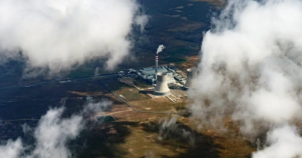
How would satellite images show how much coal is being used or how much power is generated by anything?
Because satellites can track gasses and what not.
Yup. And here’s some more to back you up. There are several satellites whose sole purpose are tracking greenhouse gas emissions.
Japan has GOSAT (Greenhouse Gases Observing Satellite) and GOSAT2 https://en.wikipedia.org/wiki/Greenhouse_Gases_Observing_Satellite
NASA has Tanager-1 https://www.nasa.gov/earth/climate-change/nasa-designed-greenhouse-gas-detection-instrument-launches/
And two CO2 mappers along with a dedicated methane mapper.
https://svs.gsfc.nasa.gov/5332/
The ESA has Sentinel-5P https://www.esa.int/Applications/Observing_the_Earth/FutureEO/Space_for_our_climate/Satellites_providing_clear_picture_of_greenhouse_gases
There’s also MethaneSat that tracks methane emissions. https://www.methanesat.org/satellite
And GHGSat which tracks industrial emissions. https://www.ghgsat.com/en/technology/constellation/